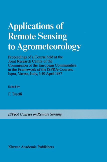
Within the framework of Ispra Courses, a course on "Applications of Remote Sensing to Agrometeorology" was held from April 6th to 10th, 1987 at the Joint Research Centre of the European Communities, Ispra Italy. The purpose of the course was to familiarize scientists, active in Agrometeorology and related fields, with remote sensing techniques and their potential applications in their respective disciplines. Conventional ground investigations in various fields of natural sciences such as hydrology, pedology and agrometeorology can be supple mented by a range of instruments carried by airborne or earth orbiting platforms. The last few years, in particular, have seen many developments in this respect and a growing amount of information can now be derived not only from dedicated earth resources satellites such as the LANDSAT and SPOT, but also from other platforms such as METEOSAT and the series of NOAA-TIROS. Future platforms (ERS-l, Space Station, etc.) with their advanced sensors will further broaden the range of applications open to the investigators. The use of these data sources, together with field investigations, can lead, at a reduced cost, to a better characterization of the spatial and temporal properties of natural systems.
Storico prezzi
Ricevi una notifica se il prezzo scende
Ti invieremo un'email quando il prezzo di questo prodotto diminuirà.
Aggiornamenti dei prezzi in tempo reale
Oltre 50 negozi monitorati
Avvisi gratuiti di calo prezzo
Solo negozi verificati
Avvisami quando il prezzo scende sotto: 210,99€
Prodotti simili
Una selezione di prodotti che potrebbero interessarti. Guarda tutti